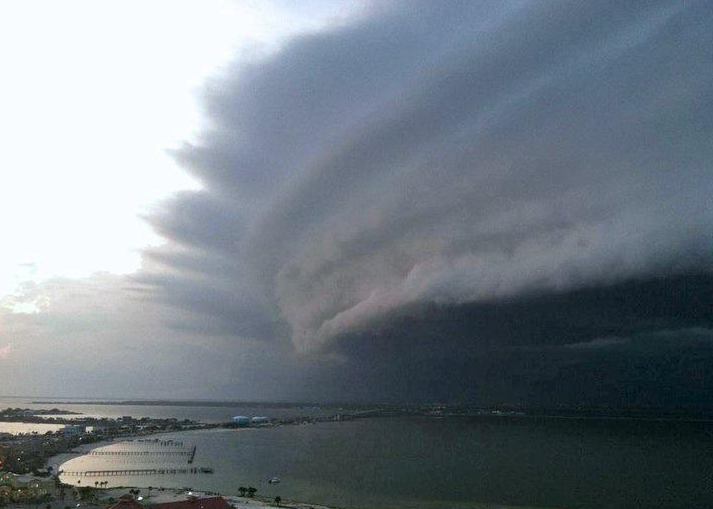
According to Weather.com, NYC’s experience should last roughly 21 hours – Saturday evening to Sunday evening.
Below is a map designed to show the evacuation zones in preparation for Hurricane Irene. New York City’s hurricane contingency plans are based on three evacuation zones: Zone A, Zone B and Zone C. The threat of flooding in these areas are different.
Images – either my own or other images found online-

Related articles
- MAP OF THE DAY: New York City Hurricane Evacuation Zones (businessinsider.com)
- NYC Orders First Mandatory Evacuation In History, 250,000 People Affected [Hurricane Irene] (gizmodo.com)
- Evacuation map of NYC: Irene is a big deal (laobserved.com)
- The best ways to stay updated on Hurricane Irene (geek.com)
- Hurricane Irene: Links roundup (boingboing.net)
- Interactive Map of Flood Risks and Hurricane Evacuation Zones Wakes Up NYC Residents (blogs.scientificamerican.com)
- Hurricane Irene News Update II (thedailywh.at)
- Here’s What Will Happen If Hurricane Irene Slams Into New York… (businessinsider.com)
- ALERT: New York City, Mandatory Port Evacuation (gcaptain.com)
